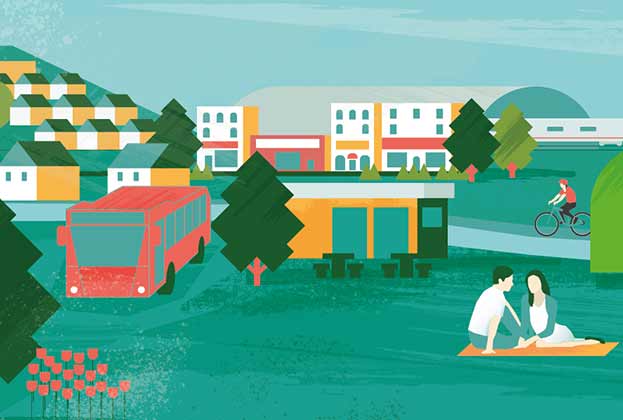
How can the planning system balance development in the Green Belt, protecting natural environments and supporting urban centres?
Green Belt covers 1.6 million hectares in England, equivalent to 12.3% of all land, and 19 local authorities have at least 75% of their land designated as Green Belt. Green Belt was intended when it was first introduced in 1938 to prevent urban sprawl, protect the countryside and encourage brownfield land development. It is viewed by some as a great success of the planning system. It certainly prevents sprawl, but at the cost of countryside in other areas. It is also inflexible which can represent a challenge to achieving wider goals of the planning system both in terms of the quantum of development and its quality, for example in relation to the achievement of sustainable development principles.
The challenge to achieving the necessary quantum of development is illustrated very clearly by the recent examination of the London Plan. Whilst research indicated a level of housing need of 94,000, the Inspectors concluded that relying solely on brownfield sites might deliver only 52,000 homes. The Inspectors therefore recommended that the Mayor undertake a comprehensive review of London’s Green Belt to ensure housing need can be met in the capital. This debate continues in the form of an exchange of correspondence between the Secretary of State and the Mayor and we currently await the Mayor’s next step in terms of identifying changes to the plan.
In terms of sustainable goals, the Government’s commitment to achieving net zero carbon by 2050 will undoubtedly start to have an increasing influence on the location of new development; placing greater emphasis on locations that have good access to public modes of transport*. This often means within or on the edge of principal settlements, frequently coinciding with Green Belt designations. Green Belt restrictions can also prevent the development of infrastructure associated with natural capital or renewable energy, that would otherwise contribute to wider sustainability outcomes.
However, there is scope for Green Belt land to be used more creatively to meet the goals of the planning system. To do this, there needs to be a greater emphasis beyond local strategic reviews of land use across city regions, and clear mechanisms for capturing some of the value arising from development for use in improving natural environments and access to green space.
*See Centre For Cities, Homes on the Right Tracks
Green Belt and housing need
There are 19 local authorities across England with over 75% of their total area covered by Green Belt. Between them, these local authorities have just under 350,000 hectares of land taken up by Green Belt. While the areas are spread widely across the country, the majority are covered by London’s Green Belt, with 15 of the local authorities found in either the South East or East of England. Combined, they have an annual housing requirement of 11,200 homes.
When comparing the average five-year delivery rate for each local authority against the government’s standard approach to calculating housing need, just three were adequately meeting need. Local authorities across England with over three-quarters of their land constrained by Green Belt are currently delivering just 56% of their housing need. Against this metric, the worst-performing local authorities are in the East of England, with both Epping Forest and Three Rivers meeting only 35% of housing need.
What makes up the Green Belt?
English Green Belt is primarily made up of agricultural land (72%) and woodland (13%). Intensive arable dominates, forming over 70% of land use in Cambridge’s Green Belt, and 54% of land use in York’s. Of the remaining area, around 13% is developed land, with a mixture of residential, commercial, leisure and industrial uses. London’s Green Belt has a similar make-up, albeit with slightly more land occupied by woodland, residential, commercial and leisure uses. Agricultural uses continue to occupy a clear majority for Green Belt land use around London, accounting for over three times the next largest land use.
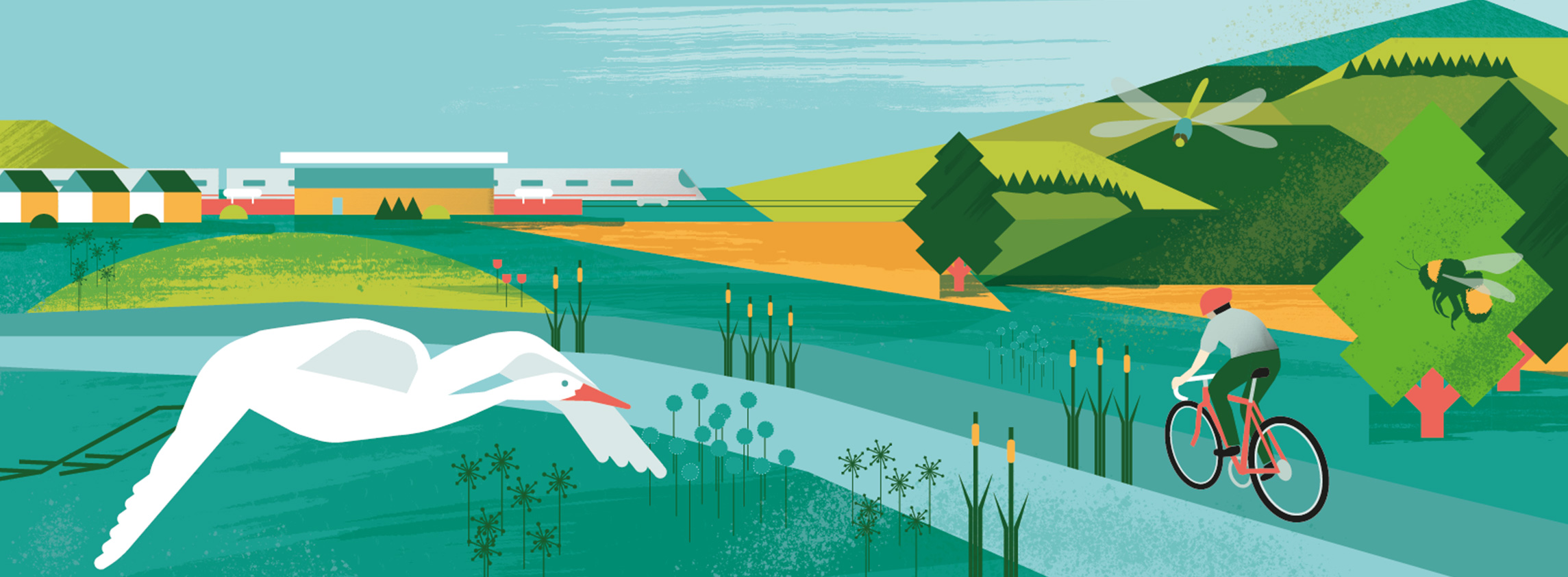
There are clear benefits in planning to deliver homes in close proximity to transport hubs. As discussed in previous research pieces, delivery around train stations in particular can help reduce private transport travel distances as well as providing regeneration benefits through otherwise under-utilised public or private land. Based on this, we would expect to see a greater prominence of developed land directly surrounding train stations.
Green Belt land at least partly falling within one mile of a train station in England is actually more likely to be agricultural land than land over a mile from a station. And while there is some evidence of slightly more residential and commercial land uses found around stations (8%), the quantity doesn’t sufficiently reflect the environmental and social benefits typically associated with agglomerating sustainable land uses together with good public transport accessibility.
77% of land currently in the Green Belt within a one-mile buffer of a train station is undeveloped
Savills Research
The same is true for London’s Green Belt, where residential and commercial uses account for just 12% of land falling within one mile of a train station. In total, 77% of land currently in the Green Belt within a one-mile buffer of a train station is undeveloped. In addition to this, our analysis has only looked at existing stations and doesn’t take into account the potential for further sites to be opened up through large strategic infrastructure projects like Crossrail.
There is potential, if this land could be used effectively, to make a substantial contribution to delivering 300,000 homes per annum across England, as well as taking steps towards reducing acute affordability issues found across the capital. Indeed the Growth Commission Report which looked at the funding for Crossrail 2 concluded that of the 200,000 homes that would be delivered in the route corridor, some 10% might be in the Green Belt.
Balancing Green Belt release
Any review of Green Belt should be undertaken strategically to ensure that the policy designation continues to perform its key functions as well as protecting the most valuable areas of landscape and habitat. It should be noted however that Green Belt is not the only a designation for the protection of the most important area of our rural environment. Instead, designated Areas of Outstanding Natural Beauty (AONB) give protection to our most important landscapes and Sites of Special Scientific Interest (SSSI) do so for the most important habitats. Across England, 9% of Green Belt is also AONB and 3% is SSSI; for London, this figure increases to 24% of Green Belt as AONB and 4% designated as SSSI. These policy designations better identify and protect valuable environments.
Alongside ensuring that important habitats and landscapes are given long-term protection, measures could be deployed to ensure that the extent of Green Belt protection is maintained. Firstly, loss of Green Belt in one location could be offset by the designation of Green Belt elsewhere; effectively a 'Green Belt swap'. This new Green Belt land would need to be sourced from the area directly surrounding the existing Green Belt. In a one mile buffer outside of London's Green Belt, land use is directly comparable, with around 70% of land used for agricultural purposes and a further 13% of woodland. Designating land on the edge of the Green Belt in exchange for developing land near transport hubs within the Green Belt would not just help deliver socially and environmentally sustainable development but would also help fulfil the goals of the Green Belt in protecting areas of countryside.
Secondly, development provides an opportunity to improve the quality of remaining Green Belt land. Particular focus can be placed on improving environmental value, and improving public access to open space. Green Belt release should set ways in which the impact of removing land from the Green Belt can be offset through compensatory improvements to the environmental quality and accessibility of remaining Green Belt land, as defined in paragraph 138 of the 2019 NPPF.
Land value capture arising from development could also be channelled more effectively into meeting sustainability goals. The Environment Bill 2019 formally introduced the concept of Net Environmental Gain on all development. In essence, the environmental impact of a development is quantified prior to planning being granted. This impact is calculated in biodiversity units. The emphasis will be on avoiding impact in the development, mitigating within the master planning of the site, and if required offsetting through improving undeveloped land near the site. Net Environment Gain is not intended to enable development on protected or irreplaceable habitats, but to take an additional slice out of landowners’ planning gain to improve a habitat nearby that merits investment.
But, whether meeting social, environmental or economic goals, to do this most effectively requires strategic co-operation between local authorities. Where Green Belt release has successfully taken place to support sustainable development around a growing economy, such as in Cambridge, it has been done through joint planning agreements. London’s Green Belt covers 66 local authorities, but there is no formal planning mechanism that requires a review of land use beyond the GLA boundaries to meet London’s overspill housing need, or a single body that is responsible for ensuring that development across London’s hinterland is aligned with existing and planned infrastructure. This makes implementing mechanisms such as Green Belt swaps much more challenging, and ultimately limits the potential of the planning system to meet the sustainability goals outlined in the NPPF.
Key recommendations
- Strategic Review of Green Belt across England, or across functional economic areas.
- Enforced Duty to Cooperate between GLA and other Metropolitan Authorities with adjacent Districts on meeting planning objectives including the Green Belt.
- A standard methodology or approach to Green Belt reviews, including with respect of Green Belt quality scoring which accounts for the defined purposes of Green Belt and other planning factors
- Loosening of NPPF restrictions on development of Green Belt on previously developed land, and land within existing settlements which is also Green Belt