
.jpg "What is predetermination archaeology?")
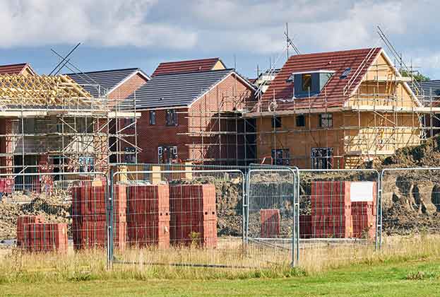
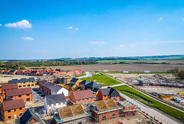
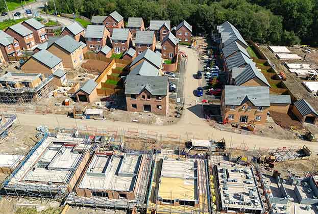
In the second in a short series of blogs on archaeology and the planning process, we look at what local planning authorities (LPAs) and county archaeologists may require in the form of predetermination investigations. These can be split into two broad categories: documentary research and archaeological fieldwork.
The purpose of predetermination archaeological work is to ensure there is a sufficient body of background evidence on which to assess a planning application. If there’s a gap in this evidence or it is lacking, then it can hold up the decision on whether or not to grant consent. Ensuring an appropriately detailed and proportionate amount of archaeological information is submitted with planning applications can save time and reduce the risk of future delays.
Archaeological documentary research
This usually takes the form of an archaeological desk-based assessment (ADBA) or historic environment desk-based assessment (HEDBA). Standards and guidance from the Chartered Institute for Archaeologists set out the purpose of DBAs: Desk-based assessment will determine, as far as is reasonably possible from existing records, the nature, extent and significance of the historic environment within a specified area.
DBAs will draw on a range of sources such as documents held at local archives, historic maps and aerial photography often available online, and the data sets held by the local Historic Environment Record (known as HERs), including information on past archaeological investigations. A combined analysis of these often large data sets allows a comprehensive picture to be established of the historical environment of the site and its environs, identifying any known archaeological remains within the site boundary.
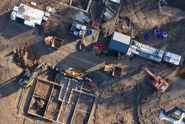
Archaeological fieldwork
In order to make sure there is as much detailed information as possible in the DBA and to ensure the assessments made regarding archaeological potential and significance are as accurate as possible, it is sometimes necessary for some archaeological fieldwork to be undertaken. This is usually in the form of a geophysical survey at the predetermination stage but can sometimes require more intrusive archaeological trial trenching. A more detailed discussion of the types of archaeological fieldwork will feature in an upcoming blog post in this series.
A geophysical survey is essentially an x-ray of the ground and provides a glimpse below the surface without disturbing the soil. It is non-intrusive and non-destructive to any archaeological remains present. While there are restrictions to the technique (such as geology type and ground conditions), as well as limitations to the archaeological information it can provide (for example it does not establish the level of preservation or historical date of the remains), a geophysical survey is considered the most reliable way to get a quick assessment of whether there are any archaeological features present across a site.
In our next post, we will set out what can usually be expected when an archaeological planning condition is applied to a scheme.
Further information
Contact Rachel Scrutton
.jpg)

.jpg)
.jpg)
.jpg)